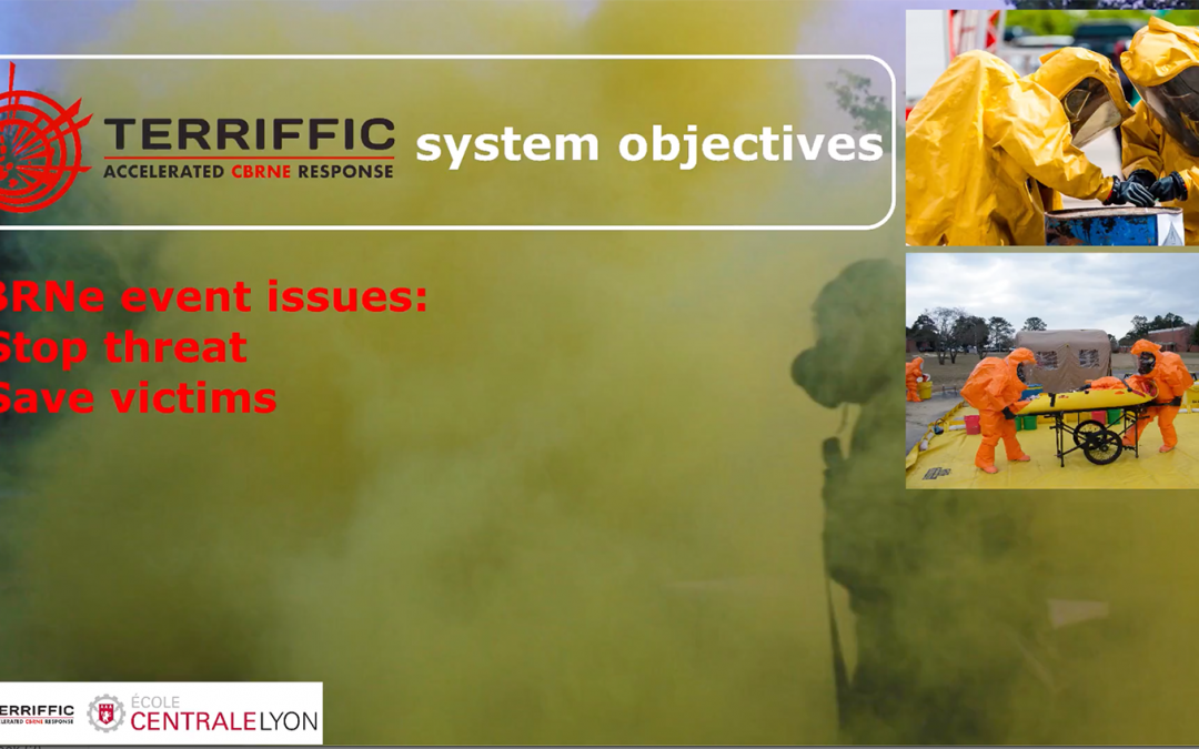
Great new infographic video from École Centrale de Lyon, explaining how the TERRIFFIC System works in practice. Sensors and detectors mounted on drones and robots are sent into the incident area to identify and measure the radiation source.
The data they send back enables the plume modelling software, developed by École Centrale de Lyon, to calculate the likely dispersion of the radiation plume. This also takes into account the wind direction and weather conditions.
This innovative software includes the ability to make these predictions even in a city centre – quite a feat, as it has to take into account the various buildings and other structures, all of which will affect how the plume will disperse. Essential information for the incident commander, allowing him/her to set the outer and inner cordons accordingly. The UAVs and UGVs send repeated measurements from the incident ground, including inside of the red zone.
Of course, what this means is that the incident commander can benefit from improved situational awareness about the type and degree of risk (s)he and the CBRNe first responder team are facing. And most importantly, without having to send anybody into the area of highest risk until more is known. This results in the assets being deployed where they are most needed.
If you would like to know more about the TERRIFFIC project, please send us an email via the Contact page.

